Our Geospatial Intelligence & Digital Environmental Systems leverage cutting-edge technologies to provide accurate, real-time spatial data for environmental monitoring, management, and decision-making. From satellite imagery to drone surveillance and GIS mapping, we offer comprehensive solutions that enable smarter, more sustainable environmental strategies.
We integrate the power of satellite imagery, GIS mapping, drone technology, and real-time environmental monitoring to offer precise, actionable data for sustainability and conservation efforts. By combining advanced spatial analysis with environmental systems, we help businesses and organizations understand and manage their environmental footprint more effectively.
What we offer
Spatial Data Analytics:
We use GIS and remote sensing technologies to analyze spatial data and monitor environmental changes, from deforestation to urban sprawl. Our data helps you track land use patterns, monitor habitat loss, and assess environmental risks.Land Use & Habitat Mapping:
Using advanced mapping tools, we analyze land use and habitat data to support conservation efforts, land restoration, and biodiversity preservation. Our solutions help governments, NGOs, and businesses align development plans with environmental sustainability.
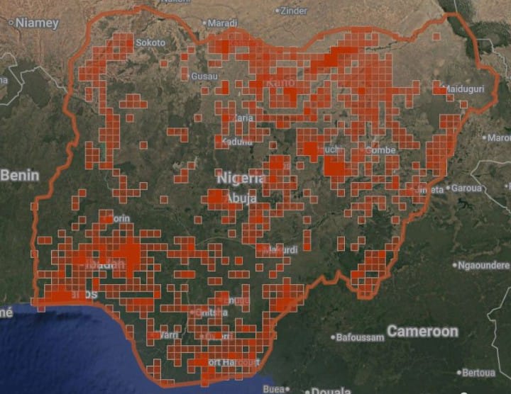
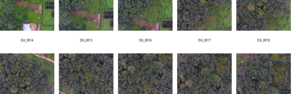
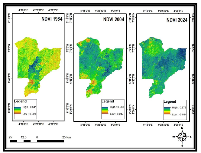
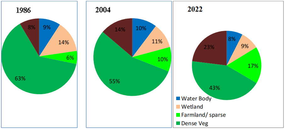
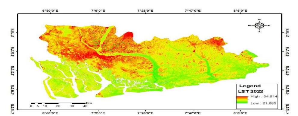
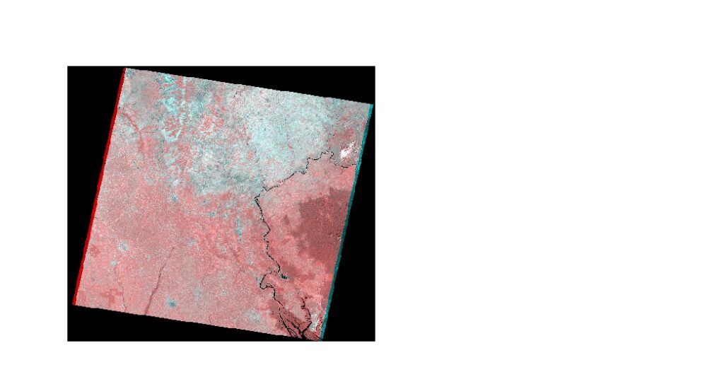
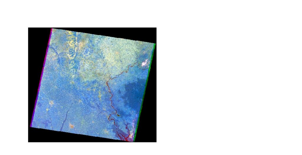
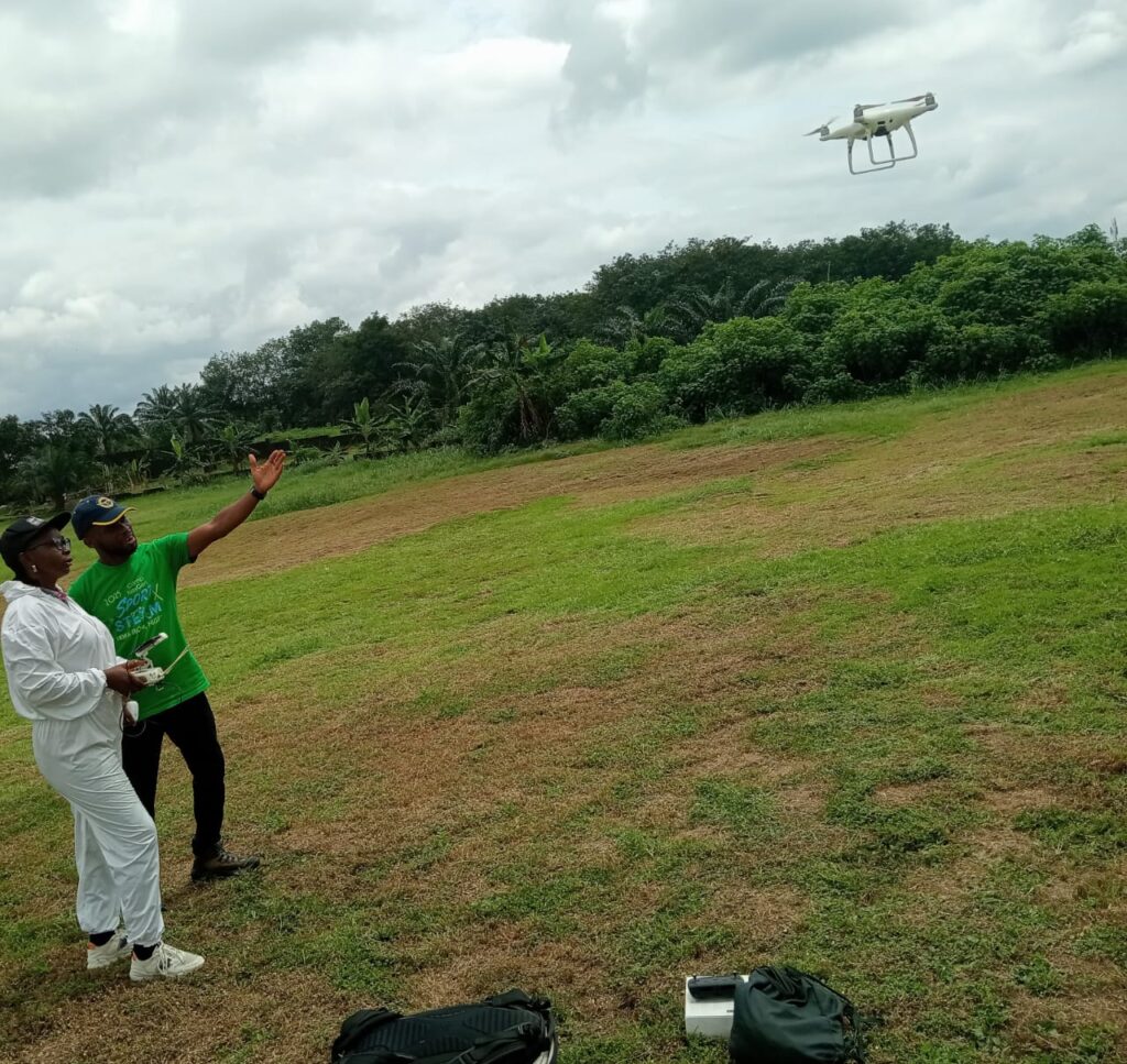
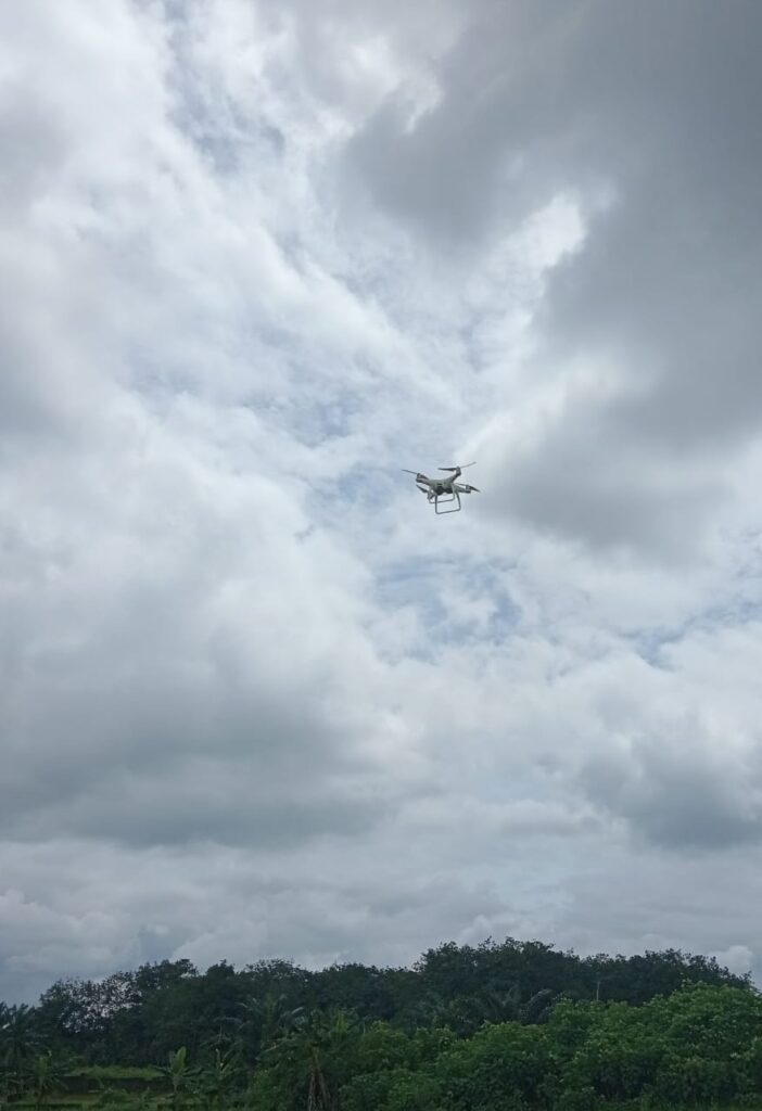
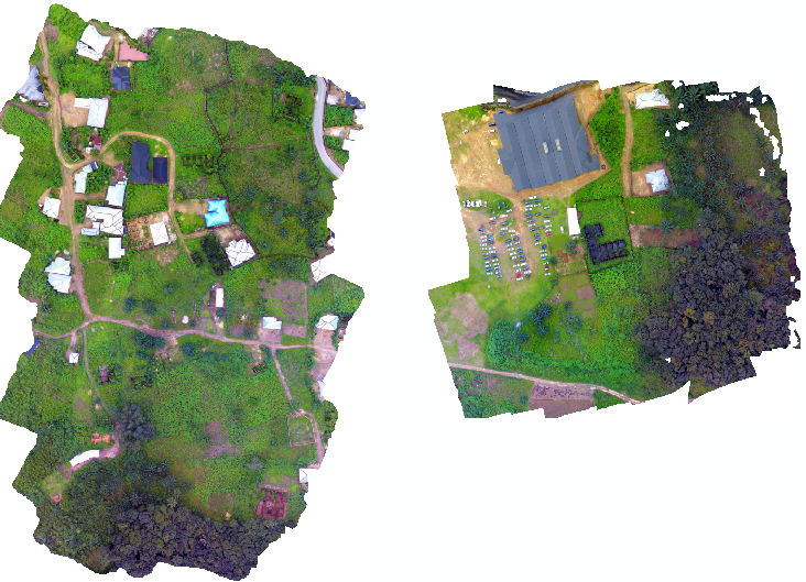
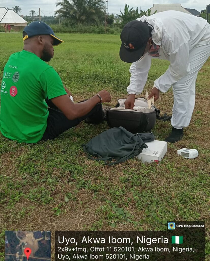
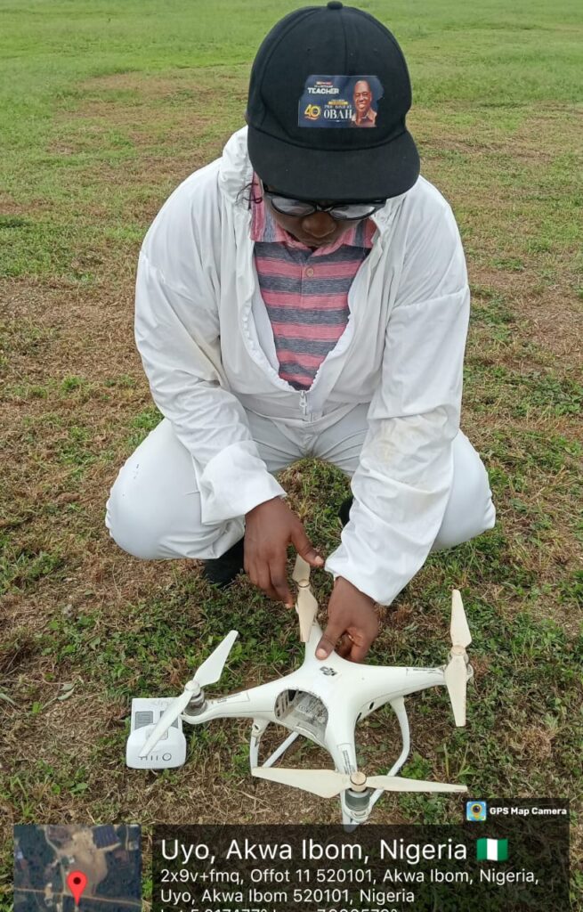
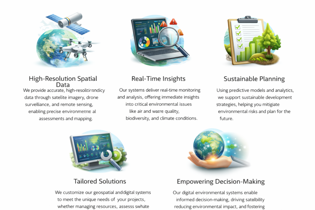
3. Real-Time Environmental Monitoring:
Our systems enable real-time environmental monitoring, utilizing satellite imagery and drone technology to track critical metrics like air and water quality, biodiversity, and land degradation. These insights empower timely, informed decision-making.
4. Predictive Modeling & Risk Assessment:
We develop predictive models that forecast environmental changes, such as flood risks, forest fires, and ecosystem shifts. Our risk assessment tools help clients plan for future environmental impacts and mitigate potential risks.
Why Choose Our Geospatial Intelligence & Digital Environmental Systems?
